Fort Yukon is located at the confluence of the Yukon and Porcupine Rivers, about 145 air miles northeast of Fairbanks. Most Fort Yukon residents are descendants of the Yukon Flats, Chandalar River, Birch Creek, Black River, and Porcupine River Gwich’in Athabascan tribes.
Official Tribal Name: Native Village of Fort Yukon
Address: P.O. Box 126, Fort Yukon, AK 99740
Phone: 907-662-2581
Fax:
Email:
Official Website:
Traditional Name / Traditional Meaning:
Alternate Names / Spellings:
Pronounced: Fort YOO-kawn
Recognition Status: Federally Recognized
US Culture Region: Artic
Alaskan Ethnic Group: Indians
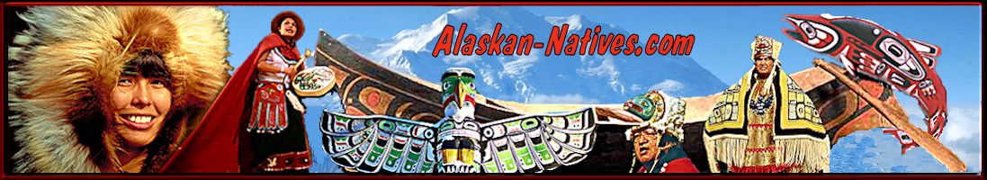
Alaskan Native Culture: Gwich’in Athabascan
Alaska Geographical Region:
Alaska Borough / Census Area:
Alaska Native Regional Corporation: Doyon, Limited
Alaska Village Corporation: Gwitchyaa Zhee Corporation
Alaska Native Associations: Tanana Chiefs Conference, Council of Athabascan Tribal Governments
Agency:
Related Tribes: Yukon Flats, Chandalar River, Birch Creek, Black River, and Porcupine River Gwich’in Athabascan
Language:
Location:
Fort Yukon is located at the confluence of the Yukon and Porcupine Rivers, about 145 air miles northeast of Fairbanks.
Village History:
Fort Yukon was founded in 1847 by Alexander Murray as a Canadian outpost in Russian territory. It became an important trade center for the Gwich’in Indians, who inhabited the vast lowlands of the Yukon Flats and River valleys. The Hudson Bay Company, a British trading company, operated at Fort Yukon from 1846 until 1869.
In 1862, a mission school was established. In 1867, Alaska was purchased by the U.S., and, two years later, it was determined that Fort Yukon was on American soil. Moses Mercier, a trader with the Alaska Commercial Company, took over operation of the Fort Yukon Trading Post. A post office was established in 1898.
The fur trade of the 1800s, the whaling boom on the Arctic coast (1889-1904), and the Klondike Gold Rush spurred economic activity and provided some economic opportunities for the Natives.
However, major epidemics of introduced diseases struck the Fort Yukon population from the 1860s until the 1920s.
In 1949, a flood damaged or destroyed many homes in Fort Yukon. During the 1950s, a White Alice Communications System and an Air Force station were established. Fort Yukon incorporated as a city in 1959.
The People:
As of 2012, the population was 586.
Government:
Climate and Topography:
The winters are long and harsh, and the summers are short but warm. After freeze-up, the plateau is a source of cold, continental arctic air.
Daily minimum temperatures between November and March are usually below 0 °F. Extended periods of -50 to -60 °F are common. Summer high temperatures run 65 to 72 °F; a high of 97 °F has been recorded.
Total annual precipitation averages 6.58 inches, with 43.4 inches of snowfall. The Yukon River is ice-free from the end of May through mid-September.
Transportation Services and Facilities:
Local Governmental Services:
Other Services and Utilities:
Schools:
Media:
Employment / Economy:
Subsistence is an important component of the local economy.
Income / Poverty Level:
Housing:
Clans / Societies:
Tribal Flag:
Tribal Emblem:
Legends / Oral Stories:
People of Note:
In the News:
Further Reading: